Philadelphia, Pennsylvania Vector Map - stock illustration
Poster Style Topographic / Road map of Philadelphia, Pennsylvania. Original map data is public domain sourced from www.census.gov/

Get this image in a variety of framing options at Photos.com.
PURCHASE A LICENSE
All Royalty-Free licenses include global use rights, comprehensive protection, simple pricing with volume discounts available
€300.00
EUR
Getty ImagesPhiladelphia Pennsylvania Vector Map High-Res Vector Graphic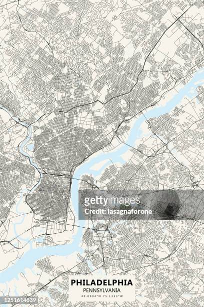 Download premium, authentic Philadelphia, Pennsylvania Vector Map stock illustrations from Getty Images. Explore similar high-resolution stock illustrations in our expansive visual catalogue.Product #:1251614839
Download premium, authentic Philadelphia, Pennsylvania Vector Map stock illustrations from Getty Images. Explore similar high-resolution stock illustrations in our expansive visual catalogue.Product #:1251614839€300€40
Getty Images
In stockDETAILS
Credit:
Creative #:
1251614839
License type:
Collection:
DigitalVision Vectors
Max file size:
3000 x 4500 px (10.00 x 15.00 in) - 300 dpi - 16 MB
Upload date:
Location:
United States
Release info:
No release required
- Philadelphia - Pennsylvania,
- Map,
- New Jersey,
- Aerial View,
- Pennsylvania,
- Philadelphia City Hall,
- Vector,
- Abstract,
- Airport,
- Architecture,
- Banner - Sign,
- Bay of Water,
- Black And White,
- Blueprint,
- Cartography,
- Citizens Bank Park,
- City,
- City Map,
- City Street,
- Downtown District,
- Geographical Border,
- Illustration,
- Island,
- Land,
- Latitude,
- Liberty Bell - Philadelphia,
- Longitude,
- No People,
- Philadelphia Freedoms,
- Philadelphia International Airport,
- Philadelphia Police Department,
- River,
- Road,
- Sea,
- Singaporean Culture,
- Street,
- Tennis,
- Tourism,
- Tourist Resort,
- Travel,
- Travel Destinations,
- Vacations,
- Vertical,
- Water,