Toxic Gumbo: Louisiana's "Cancer Alley"
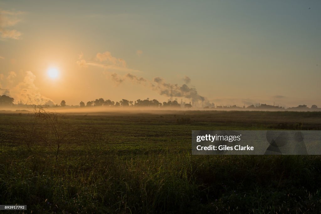
BATON ROUGE, LOUISIANA - OCTOBER 12: A chemical fog hangs in the horizon and the nearby fields of River Road in Port Allen October 12, 2013. 'Cancer Alley' is one of the most polluted areas of the United States and lies along the once pristine Mississippi River that stretches some 80 miles from New Orleans to Baton Rouge, where a dense concentration of oil refineries, petrochemical plants, and other chemical industries reside alongside suburban homes. (Photo by Giles Clarke/Getty Images.)

DETAILS
Restrictions:
Contact your local office for all commercial or promotional uses.
Credit:
Editorial #:
893917792
Collection:
Reportage Archive
Date created:
October 12, 2013
Upload date:
License type:
Release info:
Not released. More information
Source:
Reportage Archive
Object name:
2013_10_toxic_gumbo_gclarke2323.jpg
Max file size:
7360 x 4912 px (24.53 x 16.37 in) - 300 dpi - 9 MB
- Accidents and Disasters,
- Baton Rouge,
- Business Finance and Industry,
- Cancer - Illness,
- Carcinogen,
- Chemical,
- Chemical Plant,
- Close To,
- Concentration,
- Crowded,
- Environmental Damage,
- Environmental Issues,
- Factory,
- Fog,
- Geographical Locations,
- Gulf Coast States,
- Hanging,
- Horizon,
- Horizontal,
- Illness,
- Industry,
- Louisiana,
- Mississippi River,
- New Orleans,
- Petrochemical Plant,
- Photography,
- Pollution,
- Poverty,
- Purity,
- Refinery,
- Social Issues,
- Stretching,
- Suburb,
- USA,
- Water Pollution,